Wetlands Delineation
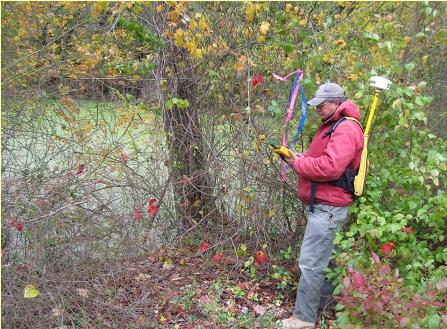
Gibson Associates, P.A. has years of experience with wetland identification and delineation services. Our staff includes a professional wetlands investigator experienced with the methods and procedures outlined in both U.S. Army Corps of Engineers’ 1987 and 1989 Wetland Delineation Manual. Our investigation begins with a review of the NJDEP Freshwater & Coastal Wetlands Mapping as well as a review of county soils mapping, parcel identification and GIS data mapping. A field inspection follows to field verify the presence or absence of any wetlands, transition area and/or State open waters on or in the immediate vicinity of the project site. If field conditions warrant, a field delineation is performed, and the limits are then field located by our survey team and plotted on a survey base map. A full report on the results of the investigation is prepared if required as part of the regulatory review for the verification of the wetlands limits. Our work continues through the regulatory review by responding to review comments, providing additional data as needed and if necessary meeting with the review agency.

